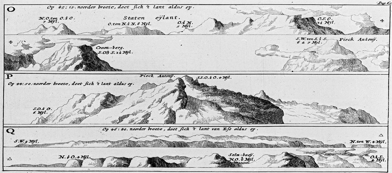
The first European on Sakhalin Island
By Rene Attema, Frisian historian of the Nethrlands for the book Calamity Islands by Oleg Klimov

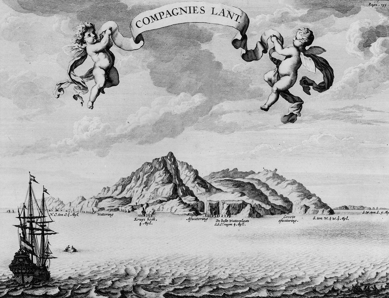
It is July 1643. The United East India Company (VOC) fluyt Castricum, a cargo vessel with three masts and a distinctive broad belly, cautiously approaches the south-eastern shore of Sakhalin. Skipper Marten Gerritsz Fries launches a pirogue to find a suitable anchorage. After some search- ing, the crew of the small boat signalled that the seabed was 10 fathoms deep and good enough to drop anchor. While the men rowed back towards the fluyt, they realised that they were being chased by three rowing boats. The men of the Castricum hurried back to the ship. It did not take long for the three pursuers to reach the VOC ship. The initial fear turned out to be unnecessary.

