
Life on the Volga river
The river used to be the road in Russia

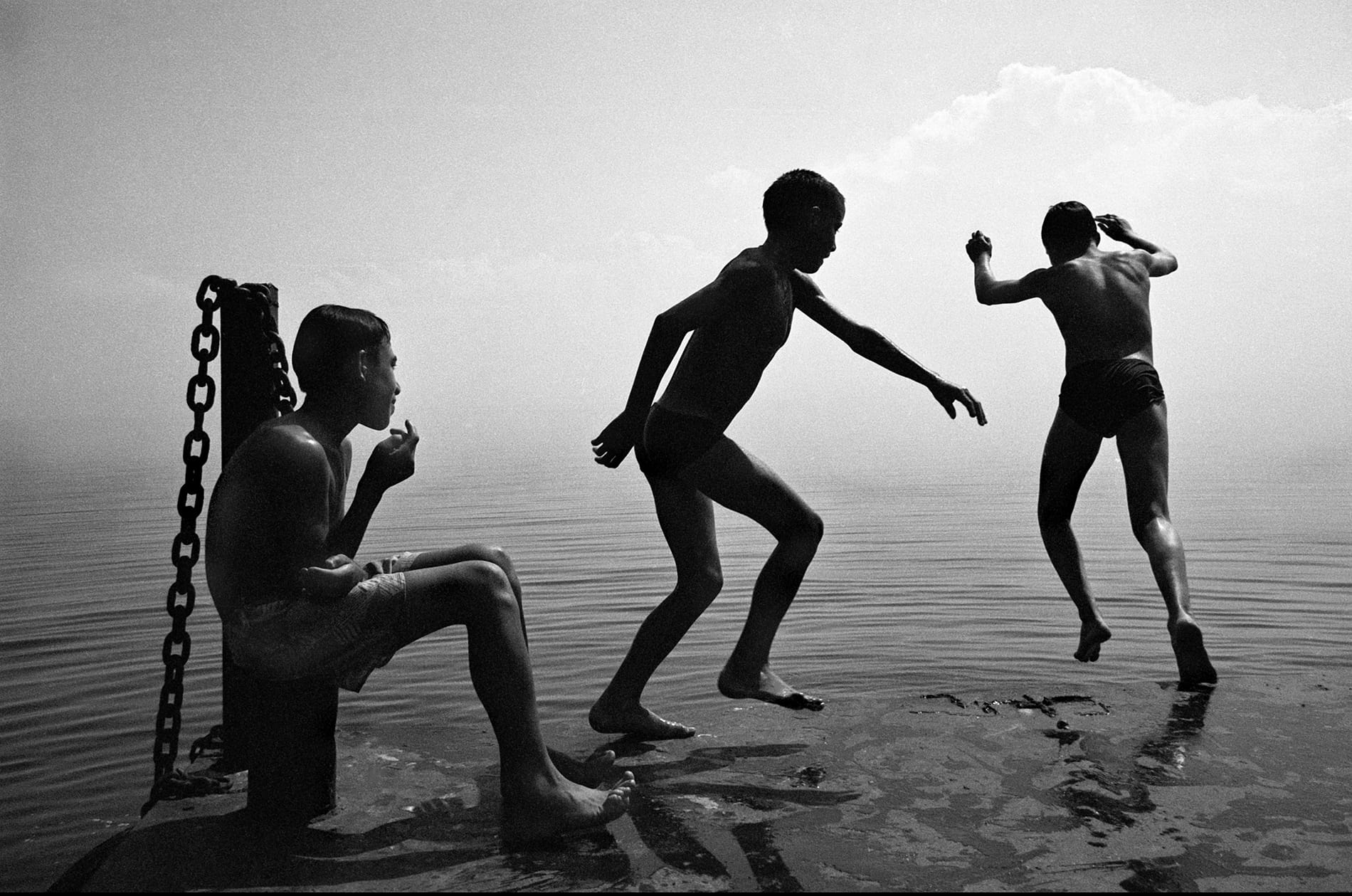
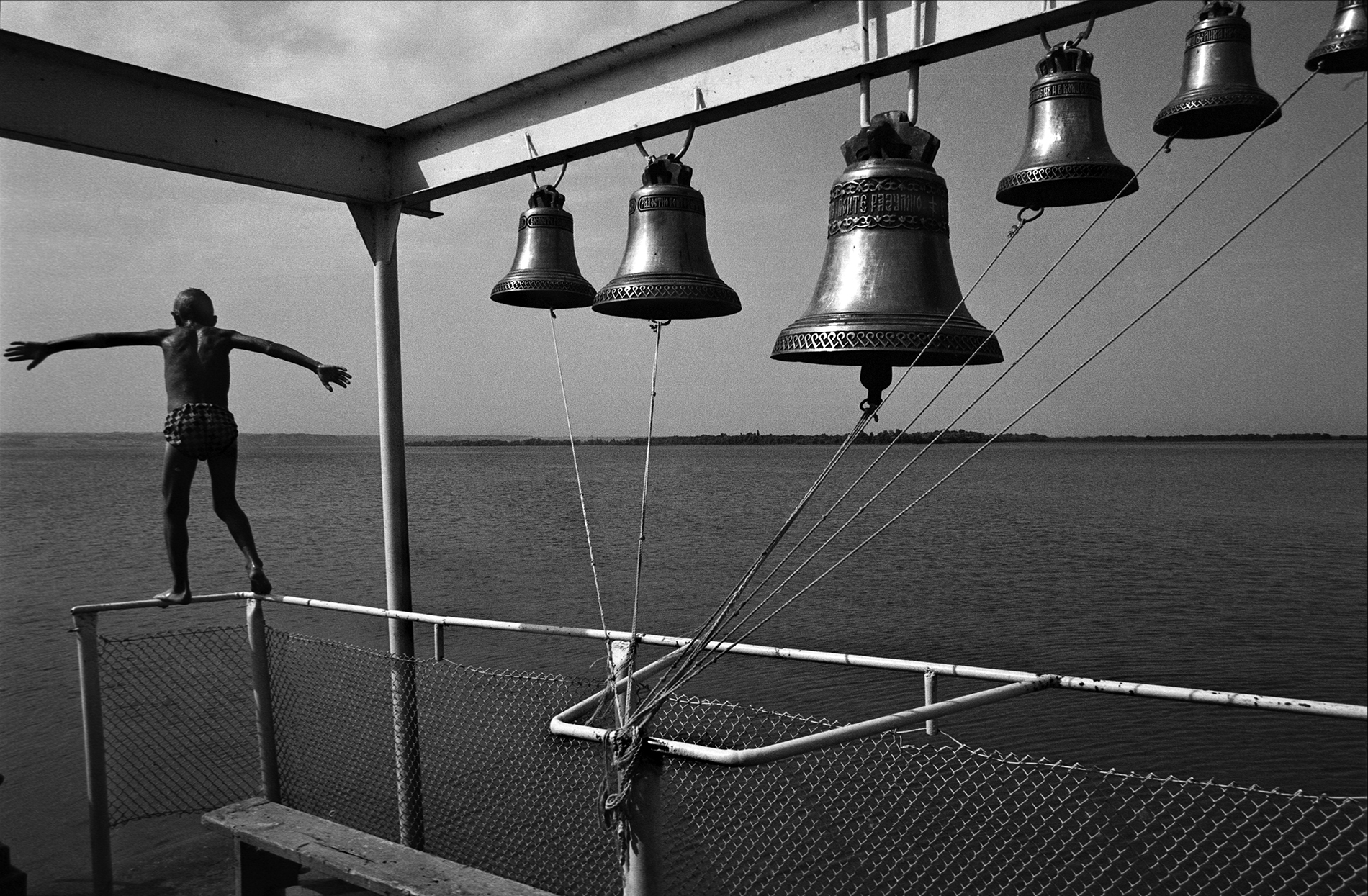
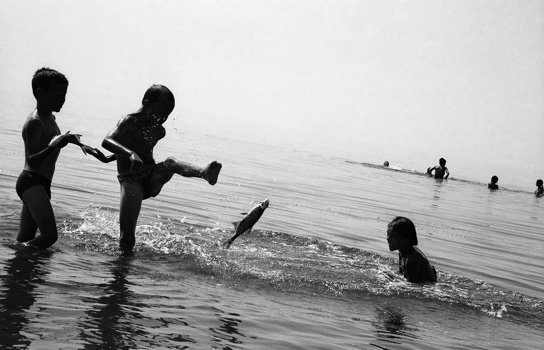
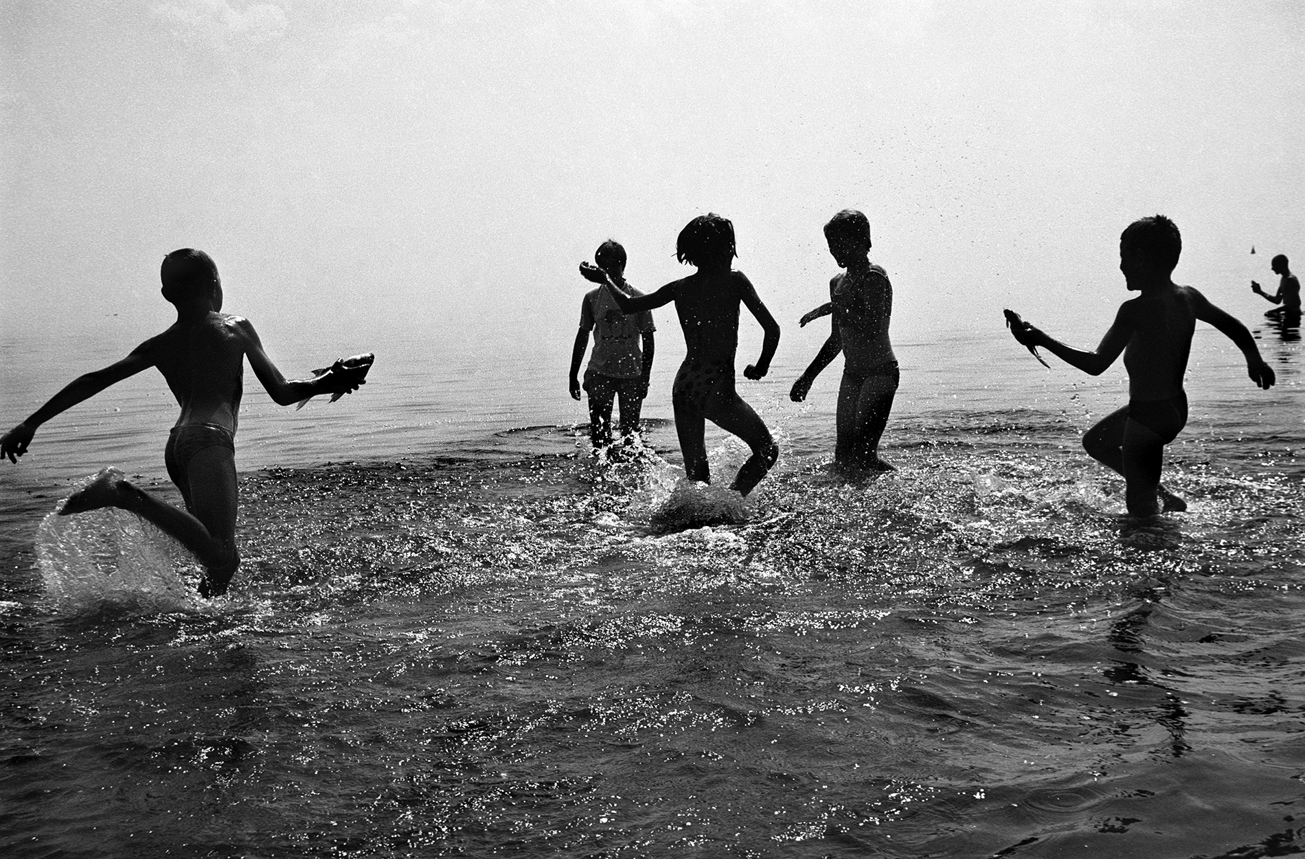
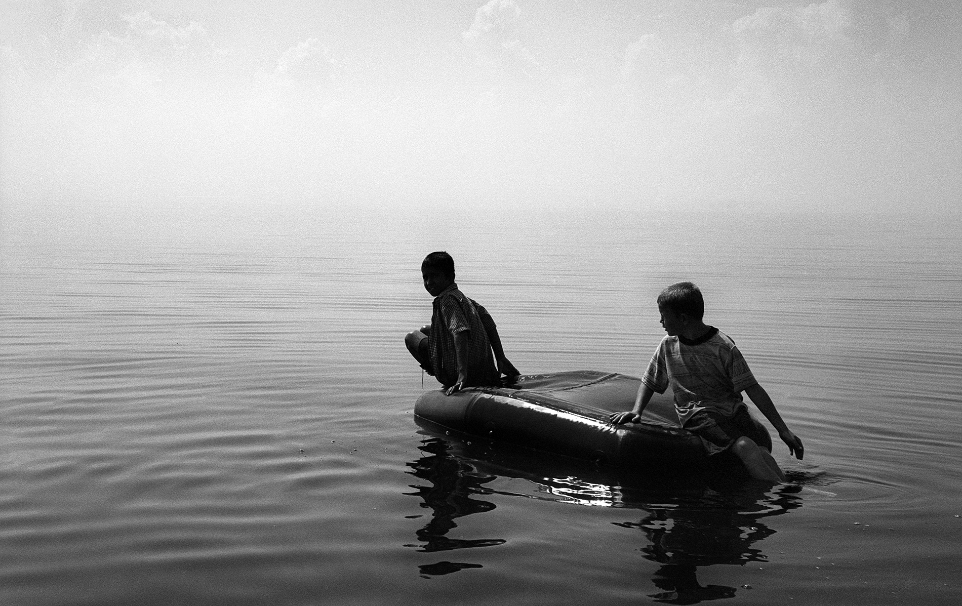
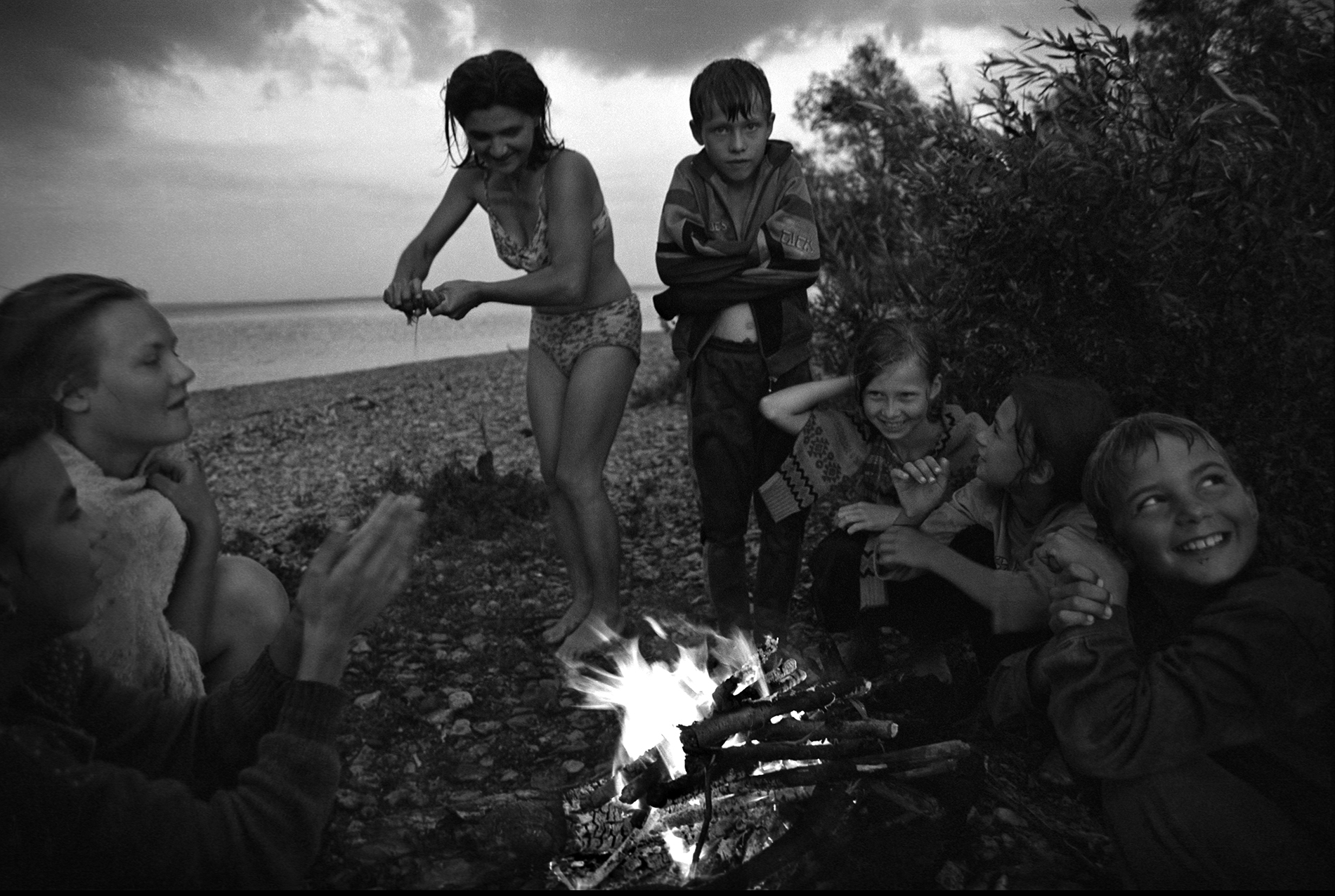
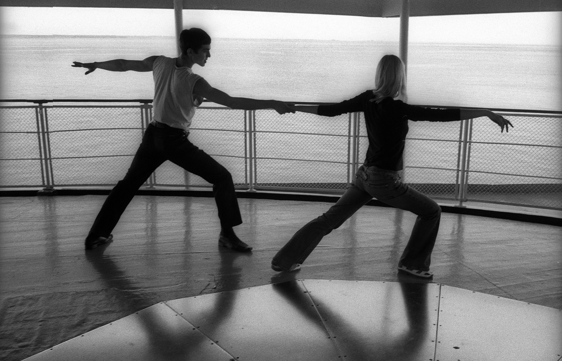
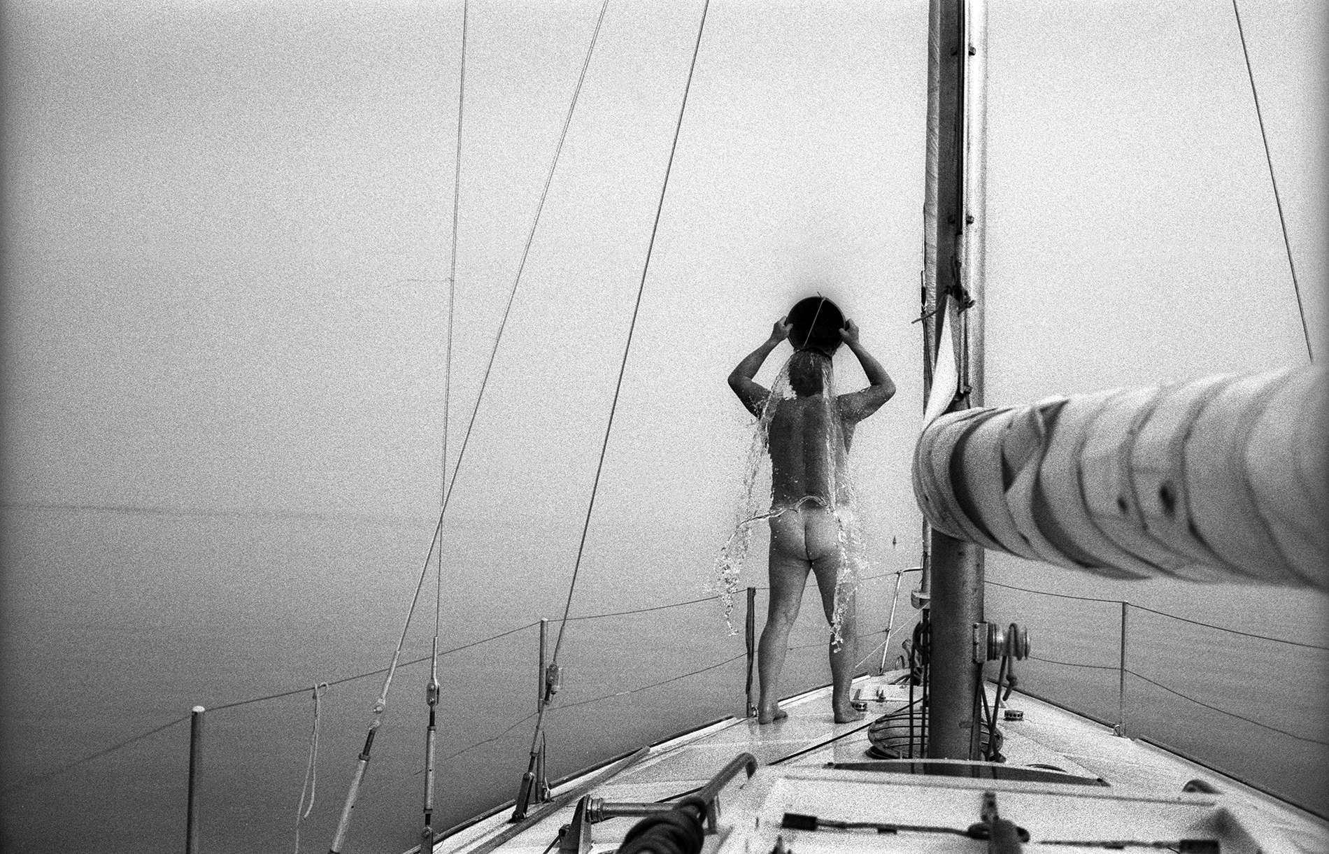
It is hard to believe that the source of a mighty river is nothing more than a small stream, no wider than half a meter, flowing from a modest spring on the outskirts of the village of Volgoverkhovye in the Ostashkov district of the Tver Region. On its long journey to the Caspian Sea, the Volga is joined by more than two hundred tributaries, the largest of which are the Kama and the Oka rivers.
Where the Volga flows into the Caspian Sea, it forms one of the most beautiful river deltas in the world. Its branching channels and streams spread outward like the palm of a hand with fingers splayed.
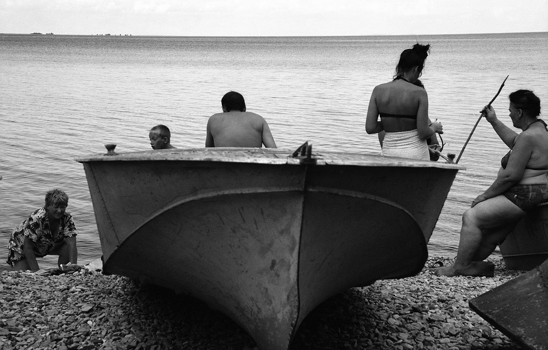
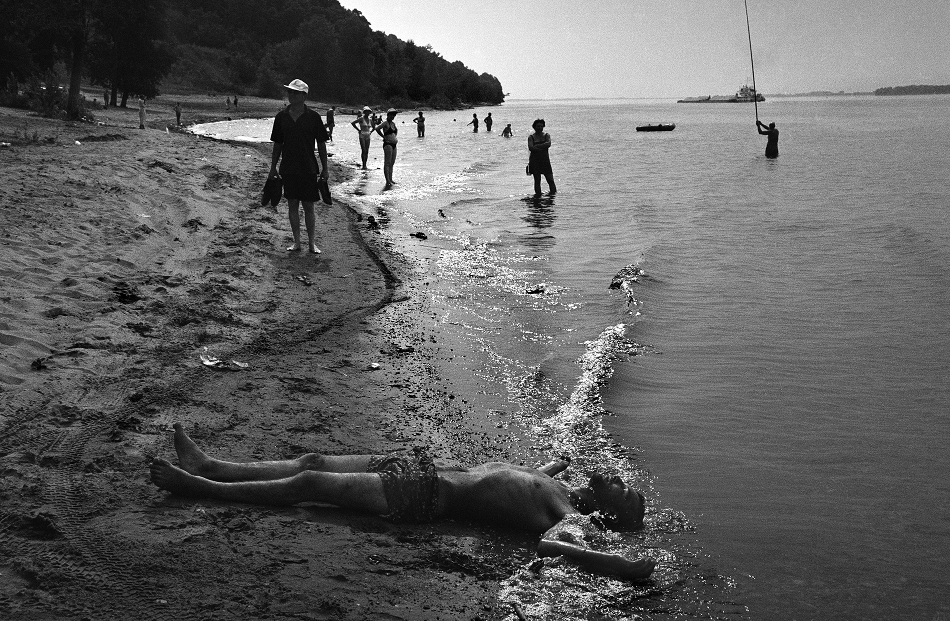
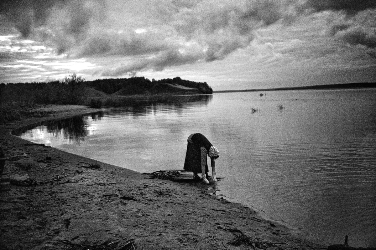
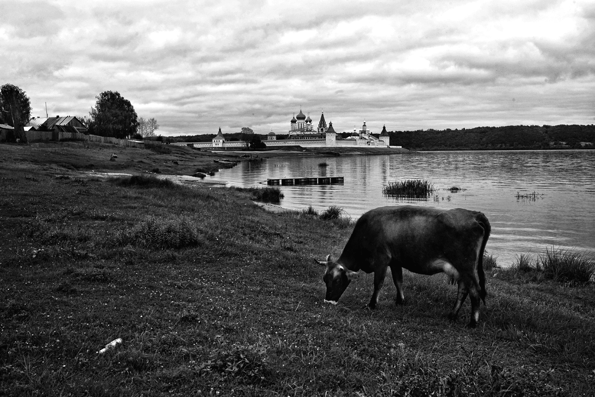
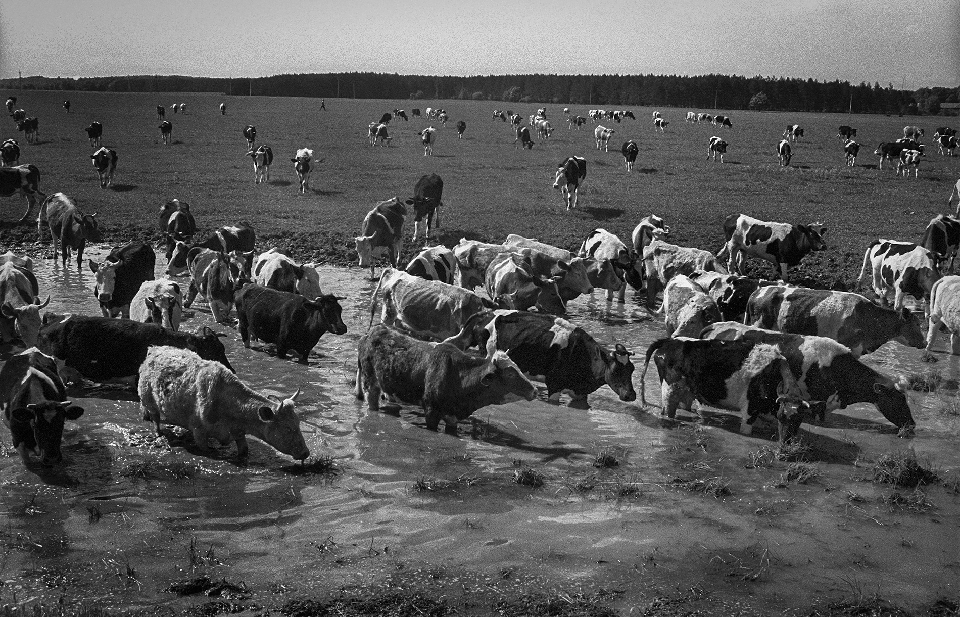
The river contains nine reservoirs. The longest of them is the Volgograd Reservoir, stretching for approximately 540 kilometers. The smallest is the Upper Volga Reservoir, about 85 kilometers in length. In terms of width, the Rybinsk Reservoir ranks first, reaching up to 56 kilometers across.
Along the Volga, hundreds of settlements were flooded to create vast reservoirs, among them the historic town of Mologa in the Yaroslavl Region and the city of Spassk-Tatarsky (now Bolgar, in Tatarstan), for projects such as the Rybinsk and Kuybyshev reservoirs. This took place between the 1930s and 1950s, during the construction of hydroelectric power stations. Entire communities were resettled, and whole districts disappeared beneath the water.
From the project Life on the Volga river